
1) Chloropleth map
2) Isarithmic map
This kind of map will be used for continuous data, such as elevation and precipitation.

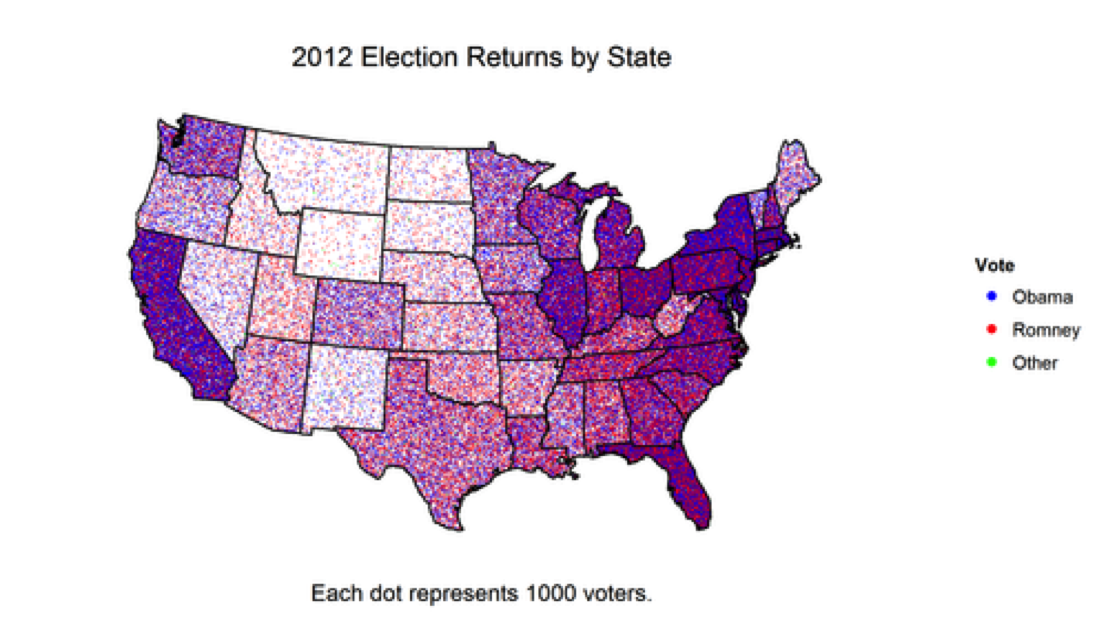
3) Dot Density map
This kind of map will be used to show density differences across a landscape.
4) Proportional Symbol map
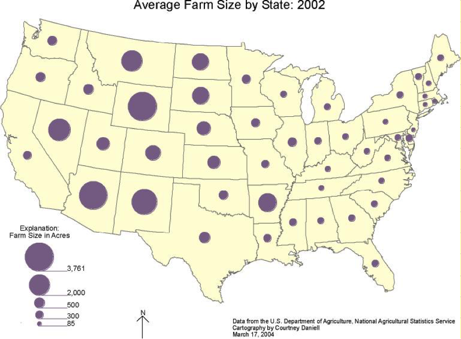 This type of map scales the size of symbols proportionally to the
data value found at that location. In short, the larger the symbol, more of
whatever is being studied exists at that location.
This type of map scales the size of symbols proportionally to the
data value found at that location. In short, the larger the symbol, more of
whatever is being studied exists at that location.
No comments:
Post a Comment